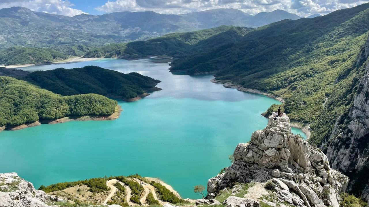
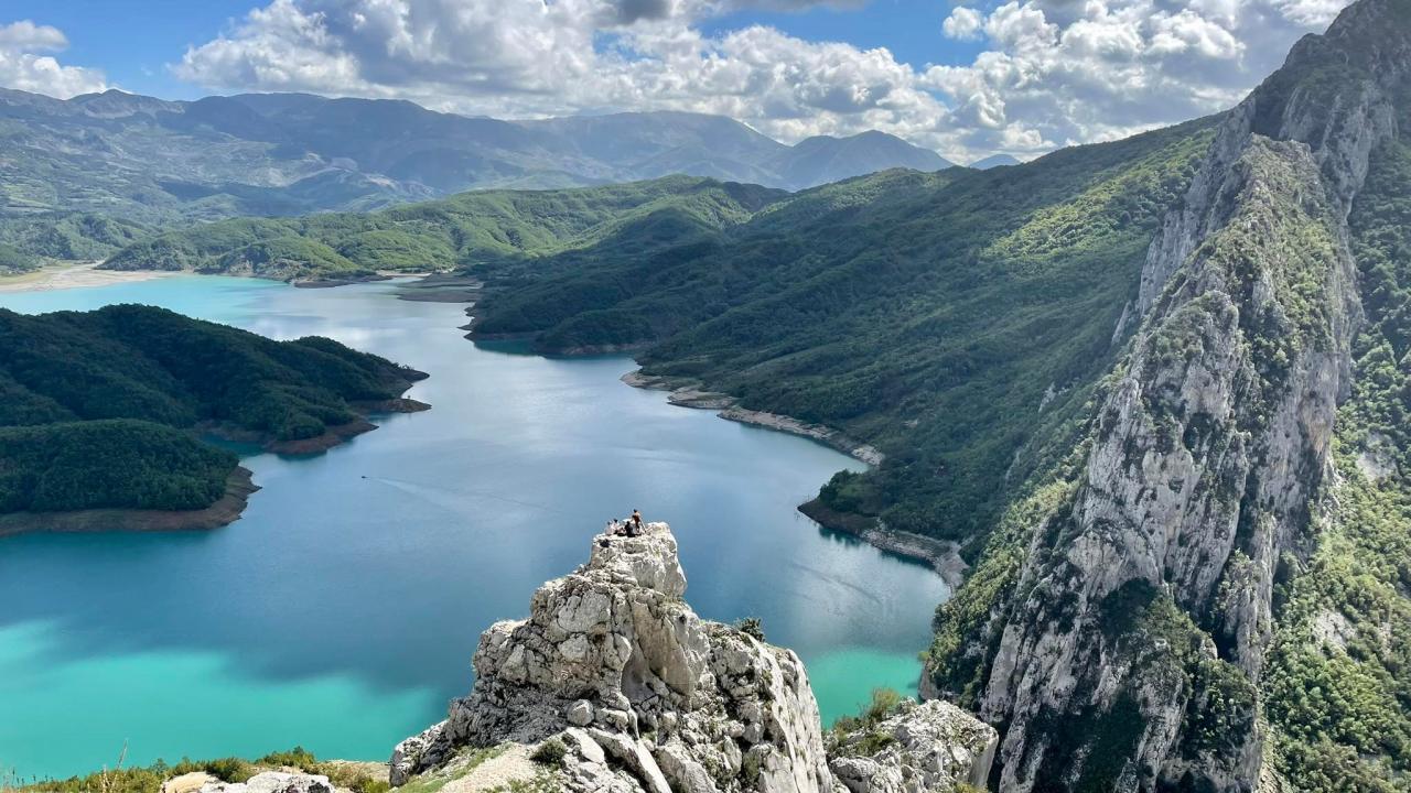

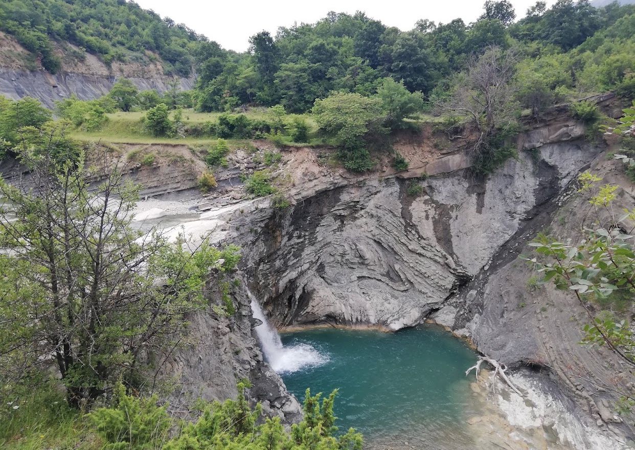
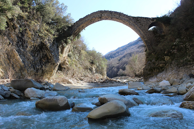
Bovilla Lake is located about 15 km northeast of the city of Tirana. The lake is the largest water catchment and is supplied with water from the Terkuza River, which originates from the northern part of the Gropa Mountain and the waters of the rains of the surrounding hills. The lake is bordered to the west by Gamti e Brari mountain, to the southeast by Dajti mountain, to the east by Xibri and Koti mountains, to the northwest by Skënderbeu mountain and to the southeast by Gropa mountain. The surface of the lake is 4.6 km and has a depth of 18-53 m. Work on its construction began in 1988-1990, then there was an interruption until October 1993. Work resumed thanks to the support of the Italian state and it was completed in 1996. While to fill and serve its purpose it was it took 2 years. It provides the majority of drinking water for Tirana. The relief is hilly-mountainous, where erosion and landslides are very active. The surface of the lake is 4.6 km and has a depth of 18-53 m. The vegetation in the Bovilla basin includes four phytoclimatic zones: the zone of Mediterranean forests and shrubs 300-600 m, the zone of oaks 600-1000 m, the zone of beech 1,000-1,600 m and the zone of mountain pastures above 1,500 m. The area around Bovilla has a stunning beauty with the Bovilla waterfall, the Bovilla gorge and the surrounding rocks. There are many tourists who are passionate about adventure, who use this relief for climbing and rock climbing. Lake Bovilla remains a very attractive destination to visit and spend a different weekend in the fresh air, and the spectacular views of the surrounding landscapes.

.webp)
 (1).webp)
 (1) (1) (1).webp)
 (1).webp)
.webp)
.jpg)
.jpg)
