National Parks
Dardhë-Xhyrë Park
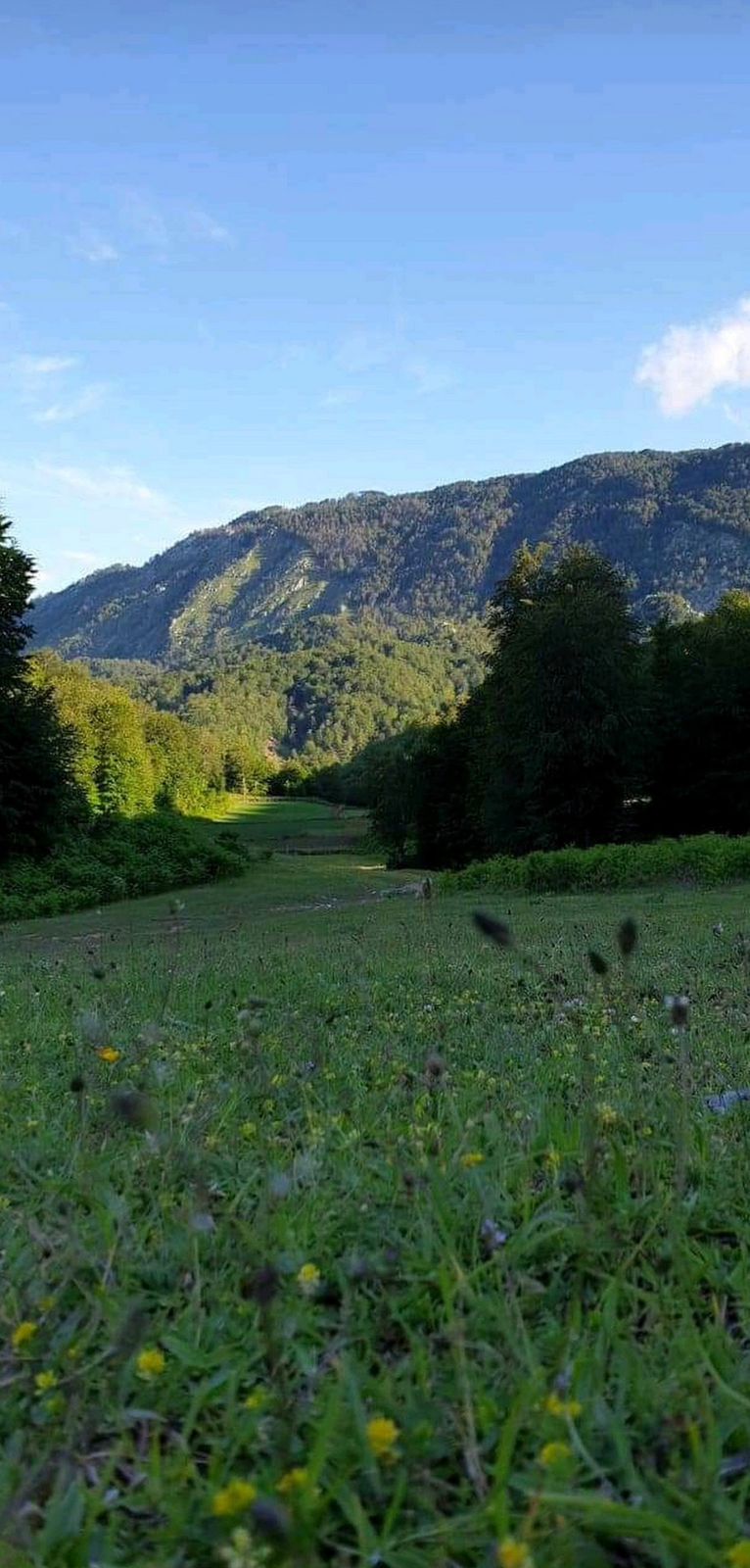
The Dardhë-Xhyrë Park, situated amidst the villages of Dardhë and Xhyrë on the Polis mountain in Elbasan, was designated as a managed natural reserve in 2022, covering an expansive area of 400.00 hectares. With Mali i Polis ranging from 1,100 to 1,773 meters above sea level, the park occupies the eastern part of the country, experiencing cold winters with substantial snowfall d
National Parks
Piskal-Shqeri Park
Piskal-Shqeri Park is located near the villages of Rajan and Dërmar, in Kolonje of Korça. It is a protected area of managed resources, with an area of about 5,400,00 ha. The park represents hilly-mountainous territory, where eroded and slippery surfaces dominate. Piskal-Shqeri has 13 named mountains. Piskalit peak is the highest point while the most prominent mountain is Lipec peak 147
National Parks
Dajti Mountain National Park
Dajti Mountain rises to the east of the city of Tirana. It was declared a national park in 1966. It has an area of about 294 km2 and its highest point reaches 1612 m. The park offers historical values of cultural, touristic and natural heritage.
The park has various geological formations, among them we mention Bovilla lake. The park is bordered to the north by Kruja,
50
€/Persons
National Parks
Bjeshka of Orosh, Lezhë
Bjeshka of Orosh is located east of Rrëshen, in Lezhë. Oroshi is also the heart of Mirdita, with an area of 4.745.00 ha. It was declared a protected area of managed resources in 1996.This is a very attractive mountain area with many opportunities for the development of types of mountain tourism. Meadows, springs, steep slopes and alpine pastures are widespread. The most interesting area
National Parks
Kanali i Çukes-Butrint-Kepi i Stillos
Chuka Channel, Butrint, Sillo Cape
National Park, part of the World Heritage by UNESCO. Wetland complex located in the south-western part of Albania, known for its archaeological monuments (the ancient port of Butrint), historical importance and natural wealth. The central area is composed of a tectonic lagoon of 1600 ha, known as Lake Butrint, which is surrounded by forested hills, mountains and
National Parks
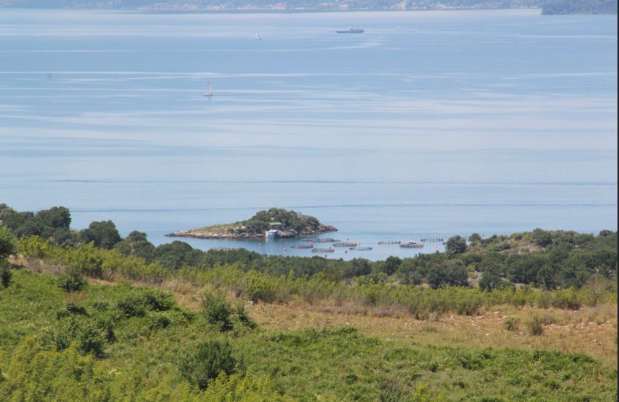
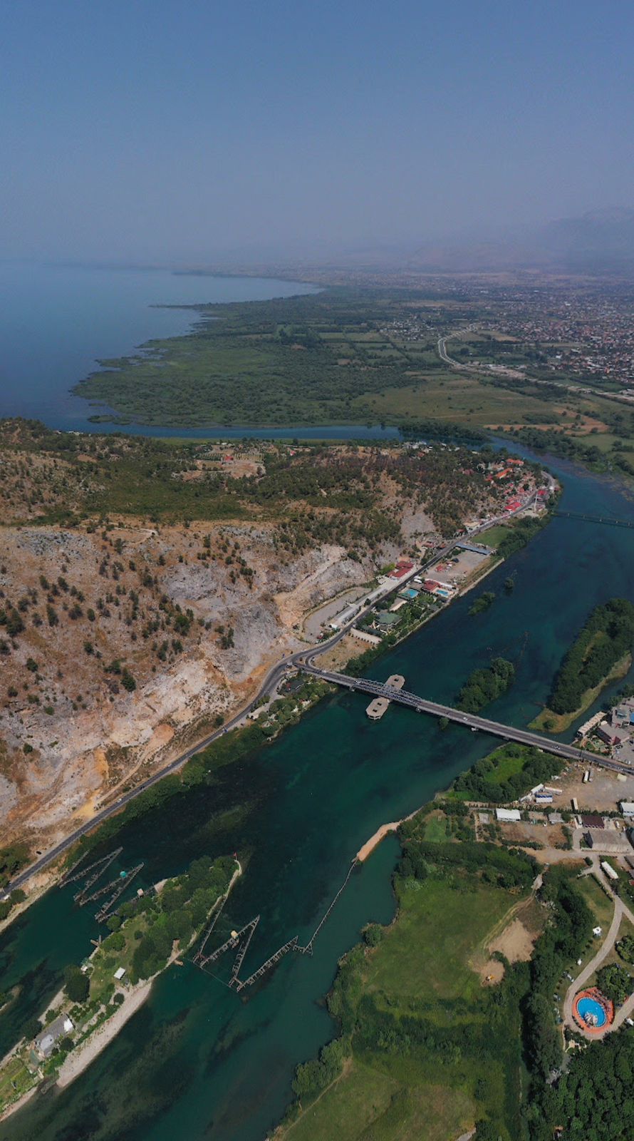
Buna Lake
The Buna River flows from Lake Shkodra and flows into the Adriatic Sea. Buna is located near the city of Shkodra, between the Rozafa Castle hill and Tarabosh Mountain. The river is 44 km long and flows along the plains of the Buna coast, which include the Anamal Field, the Trushi Field and the Velipoja field. Buna is the only river in Albania, with a real natural delta. In its delta is the island

National Parks
Prespa Lake
Lake Prespa is located on the tripartite border: in the southwest of the Republic of North Macedonia, in the southeast of the Republic of Albania and in the north of the Republic of Greece. The lake has an area of 274 km2. Of the total area, 176.8 km2 belong to North Macedonia, 49.4 km2 to Albania and 47.8 km2 to Greece. The length is 28.6 km, while the width is 16.9 km. The total volume is 4.8 mi

National Parks
Rrëzomë Village
Rzëzomë Village is located next to Kalas Village's river, in Delvina and Vlora District.
With a surface area of approximately 500 hectares, the location boasts of typical Mediterranean flora. The entire area is a blend of low-lying valleys and towering mountain peaks.
The area is known for a wide range of plant species, including those with distinct aromas and medicinal properties. As
.jpg)
National Parks
Fir of Sotira, Gjirokastër
Fir of Sotira is located in the south of Albania, in Gjirokastër. It is a protected natural area with a current area of about 1,740 ha. The position in the south of the country and away from the national road makes it a quite quiet place, with high biodiversity from the point of view of habitats and that of species.To get to "Bredhin e Sotira", cross the national road Gjirokastër-Llongo-
