.jpeg)
 (1).jpeg)
 (1).jpeg)
.jpeg)
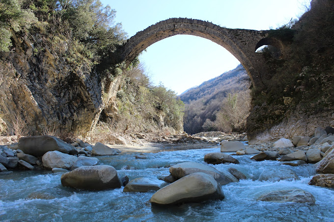
The village of Zall-Herr is located about 15 km from the center of Tirana and 9 km from Kamza. Zall-Herri is positioned around the Tërkuze river valley, which flows in the northern part of Tirana and flows into the Tirana and Ishëm rivers. The territory of Zall-Herri includes 10 villages and the population reaches 11,300 inhabitants. It is a hilly-mountainous area, with a height from 55 m to 400 m above sea level. The highest peak is Mount Priska e Vogel 1217 m. There is also the Tërkuze river with a length of 30 km, it crosses the area of Zall-Herri from east to west.
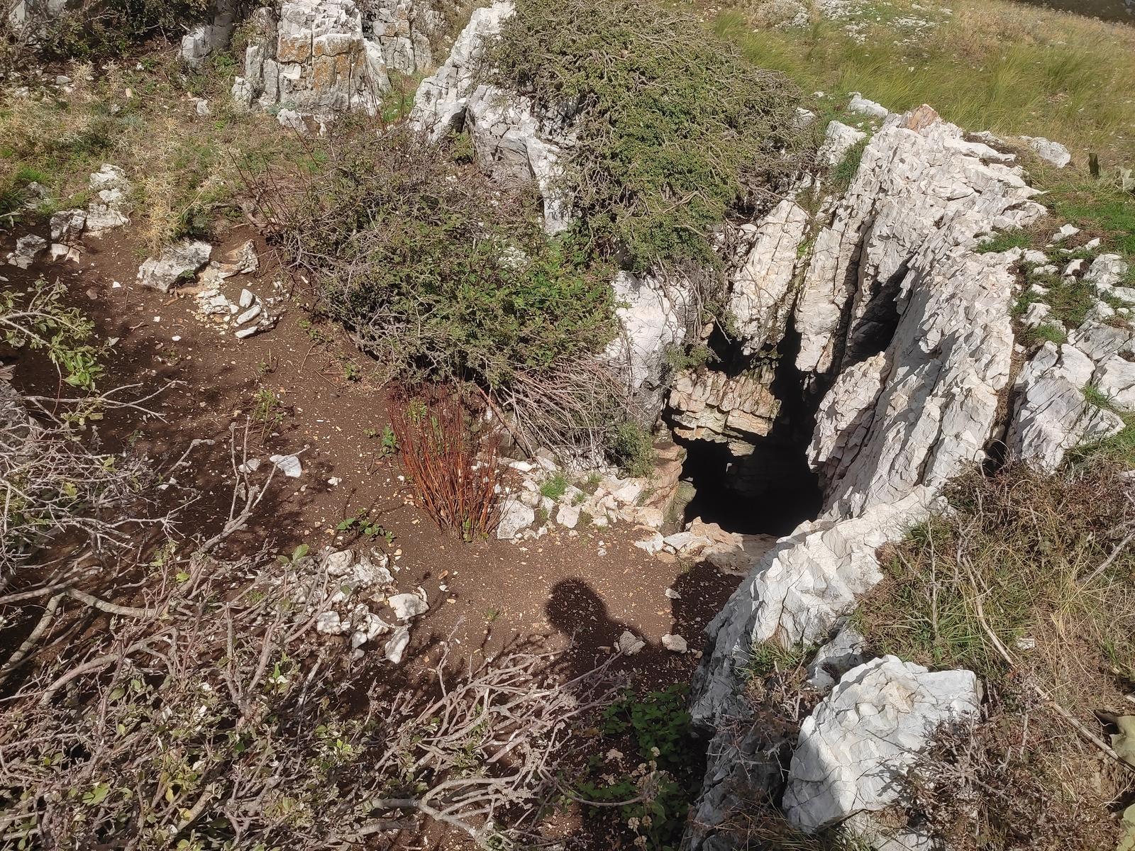
The only ruins left in the village of Priskë e Vogël are large carved stones of about 7 m², 5 m high and the surface of the surrounding walls is 4000 m². According to archaeologists, the cult object dates back to the 12th century AD. Also in Zall-Herr there are several military units, even among the most important ones, the Commando Forces and the Rapid Reaction Troops.
The economy is mainly based on agricultural and livestock production. The villages of the Zall-Herri area are rich in olive trees which in some villages like Radheshi create a picturesque green crown. One of the most characteristic plants of the area is the mare, known for the production of mare brandy and its cider.
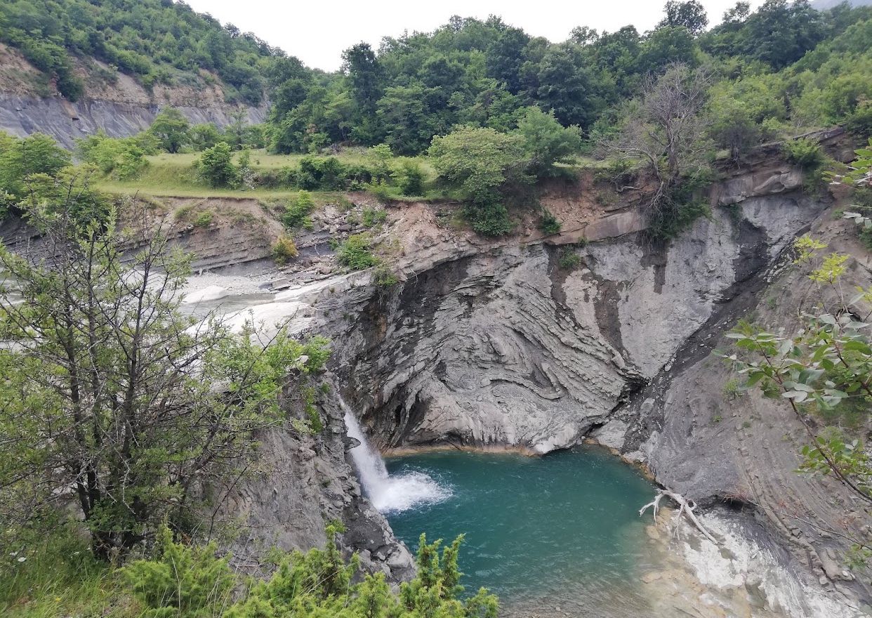
Zall-Herri is one of the most beautiful villages in central Albania, with clean and refreshing air, filtered water from the Gurre spring and several picturesque lakes.

.webp)
 (1).webp)
 (1) (1) (1).webp)
 (1).webp)
.webp)
.jpg)
.jpg)
