Vjosë-Nartë
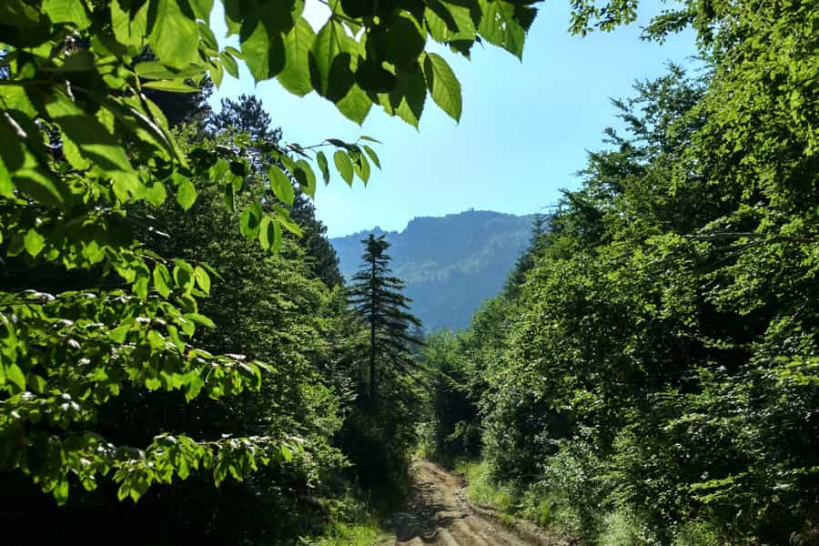
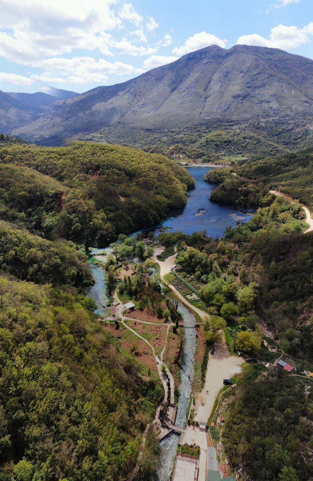
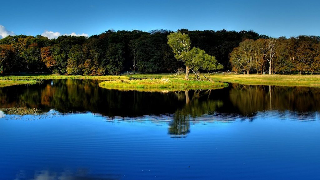
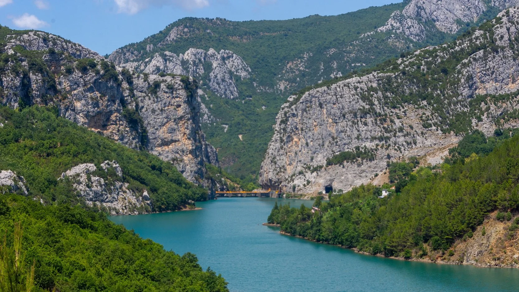
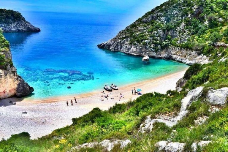
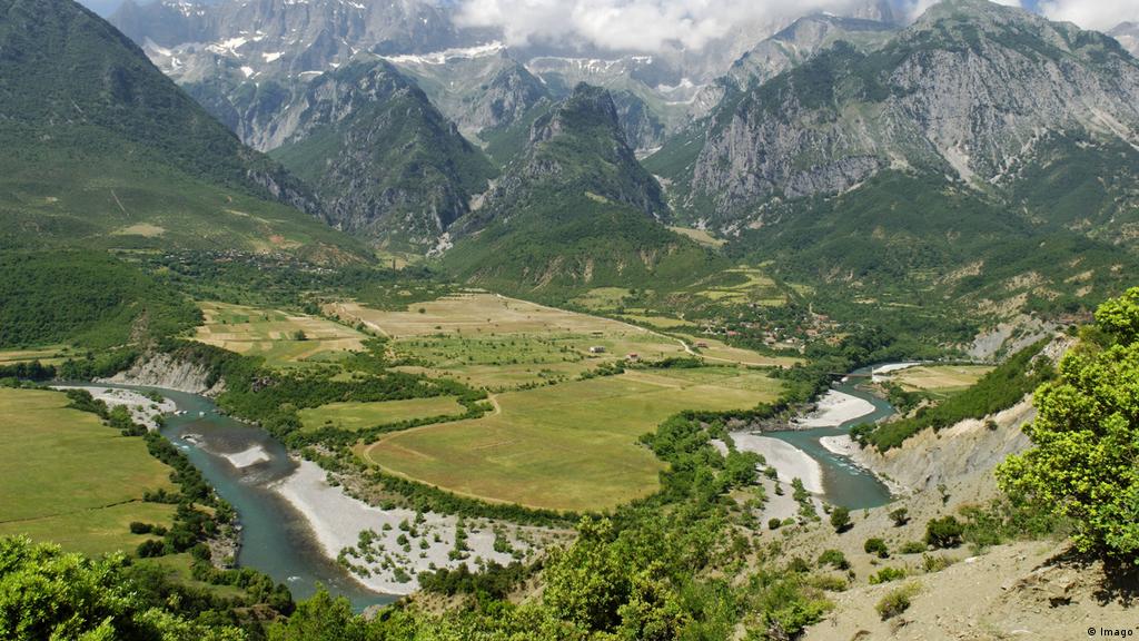
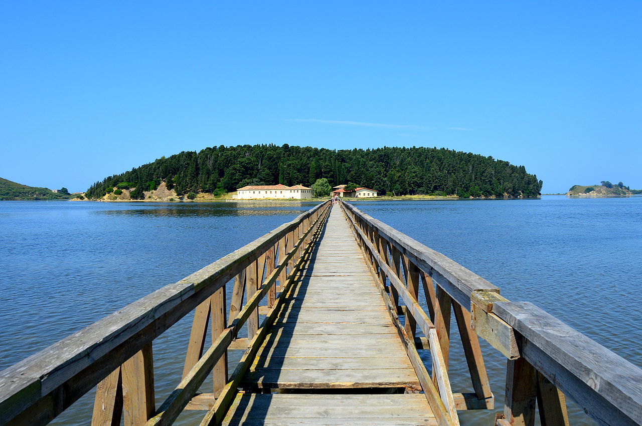
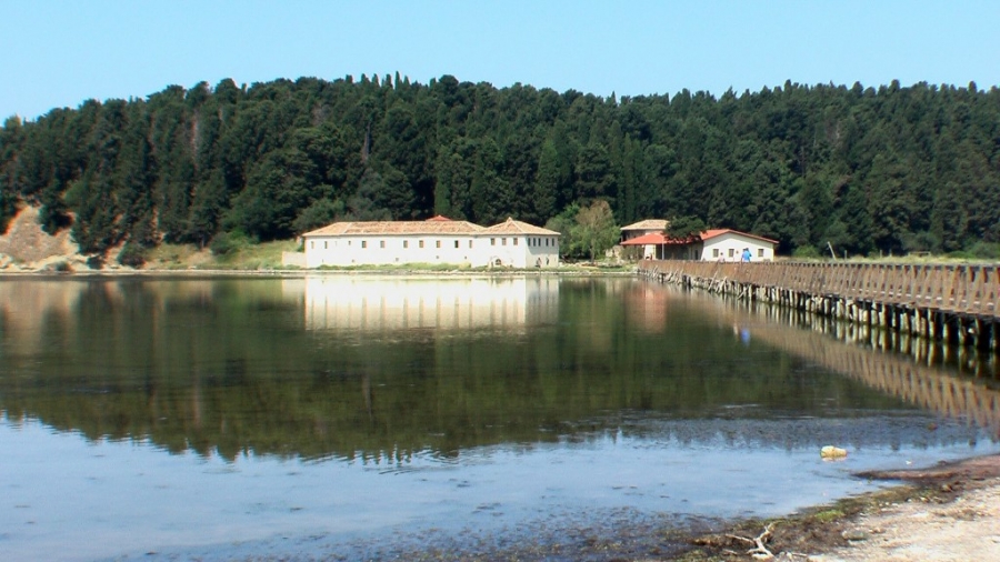
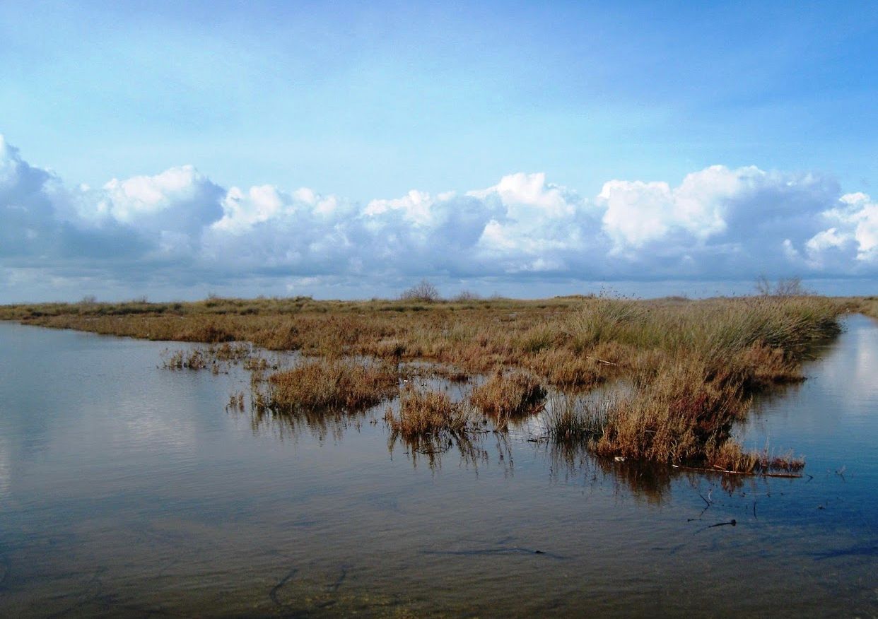
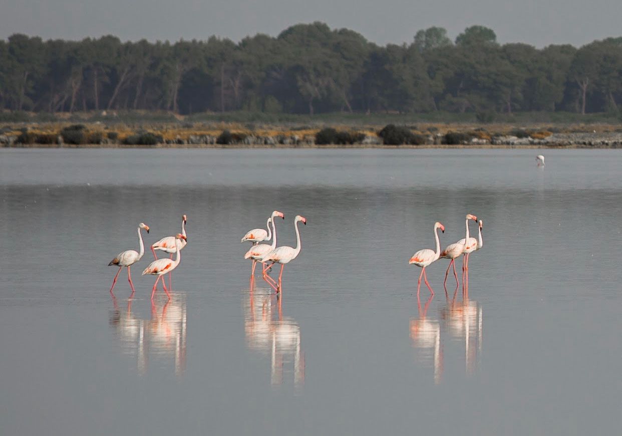
Situated in Vlora District.Current size by is 19,738.00 hectares. Area rich in wetlands, and aquatic birds. Date typical Mediterranean vegetation, the salty lands as well as in the northern part of the Vjosa River delta. Narta lagoon is the second most important place for waterfowl, being a very important IBA (20 000 wintering birds and over 40 species). Pelican food place (Pelicanus crispus) and which meet regularly flamingos (Phenicopterus ruber). Surrounding the lagoon a rich flora and fauna typical of Mediterranean wetlands. Zverneci area qualifies for coastal attractions combined with its cultural wealth of traditional, that make up the potential for tourism development. Its shore is found in the forest of fir and Xina (Pistacia lentiscus
Digital Geographic Borders:
a) North: River Estuary Vjosë ( 4357230.70L / 4503383.01V ), follows the flow of river Vjosa to the point with coordinates ( 4374598.35L / 4497984.40V ) ;
b ) East: point with coordinates ( 4374598.35L / 4497984.40V ), follows the back hills Three Brotherhood quota 105.0 m, pedestrian path, and the top Cipllakuit ( 235.1 m ), quotes 246.0 m, 221.0 m, 227.6 m, passes near the village Kërkovë, yeast Mutrevës ( 222.6 m ), quotas 196.0- m, village Bestrove, quotes 204.0 m, 202.0 m, 164.0 m, 160.8 m, crossing the roadway Well of the Muezzin ( 4371353.76L / 4484988.27V ) ;
c ) South: Crucifix of roadway Well of the Muezzin ( 4371353.76L / 4484988.27V ), passing near the salt mine, the Kavallonës well to the point of meeting with the Adriatic Sea ( 4367602.48L / 4484771.87V ) ;
d ) West: The point of meeting with the Adriatic Sea ( 4367602.48L / 4484771.87V ) and continues along the coastline to the mouth of the River Vjosa